Make the run worth it.

Drift prediction, real ocean data, and crew-shared intelligence to help offshore anglers make better decisions.

Download on the App Store - Coming Soon

iOS coming soon · Android shortly after

How It Works

Three steps to get back on the fish.

1

Mark

Drop a pin or drift alongside kelp to record its GPS position and observed drift vector.

2

Predict

Wind forecasts and ocean current data predict where the kelp will move over hours or days.

3

Return

Navigate back to the predicted position and find the same paddy, even days later.

Built for Offshore Anglers

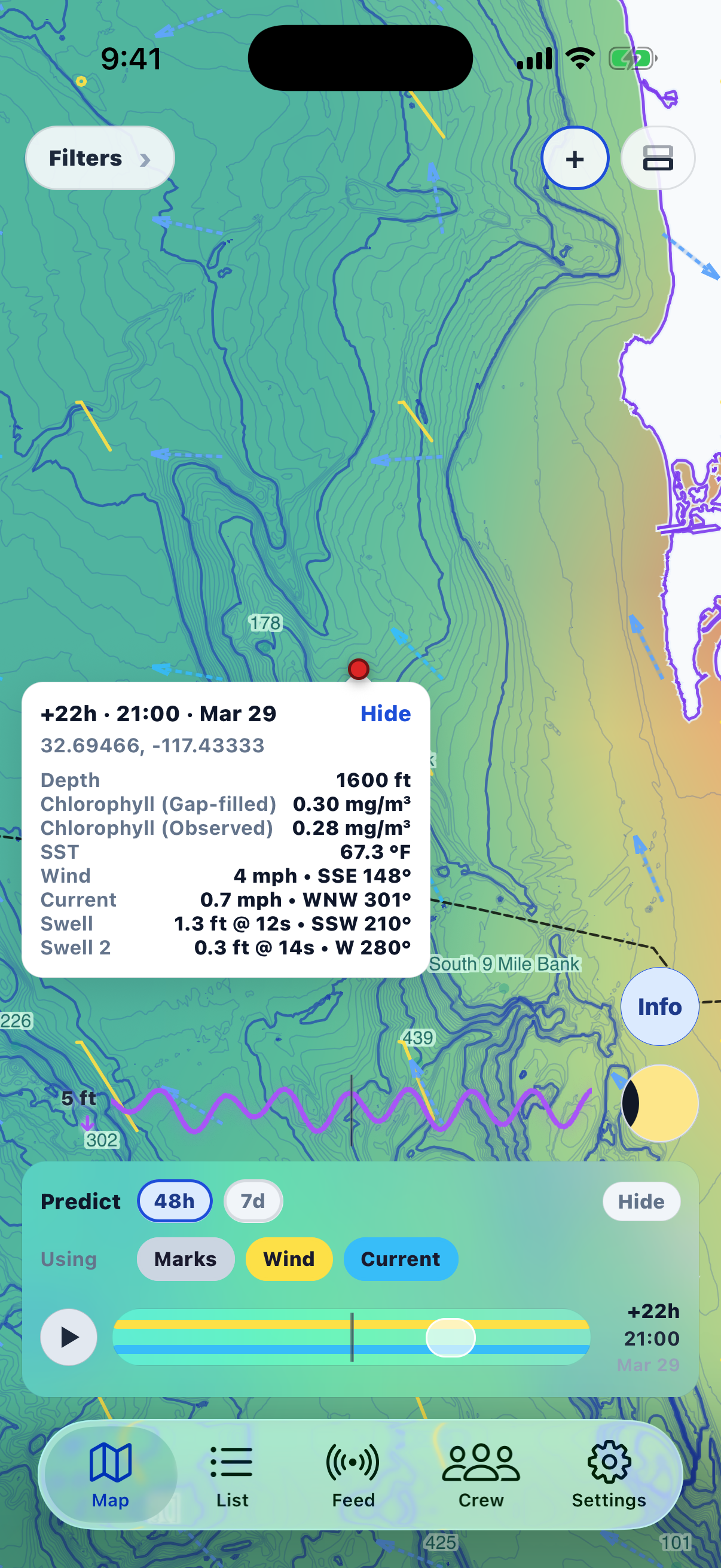
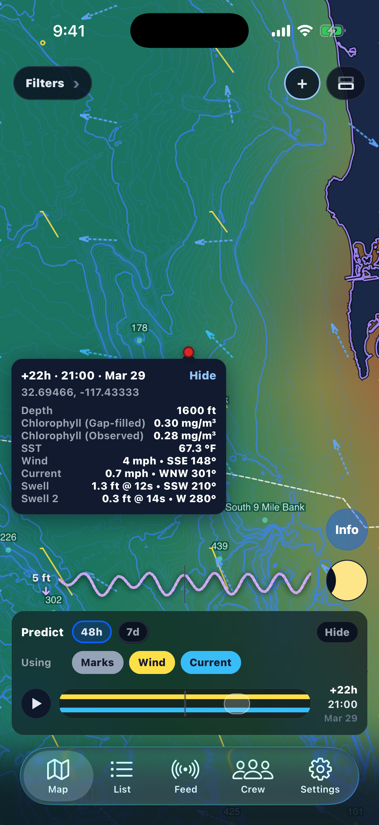
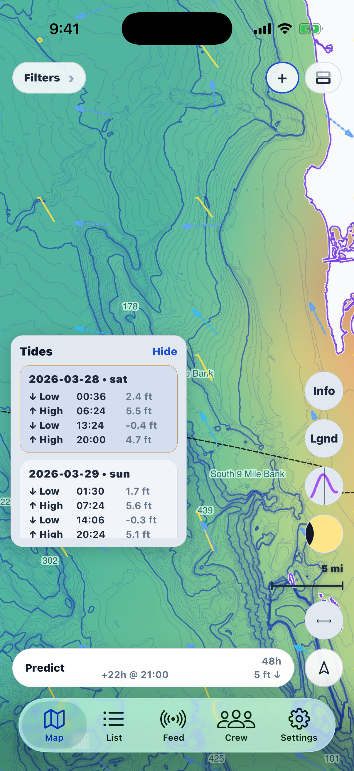
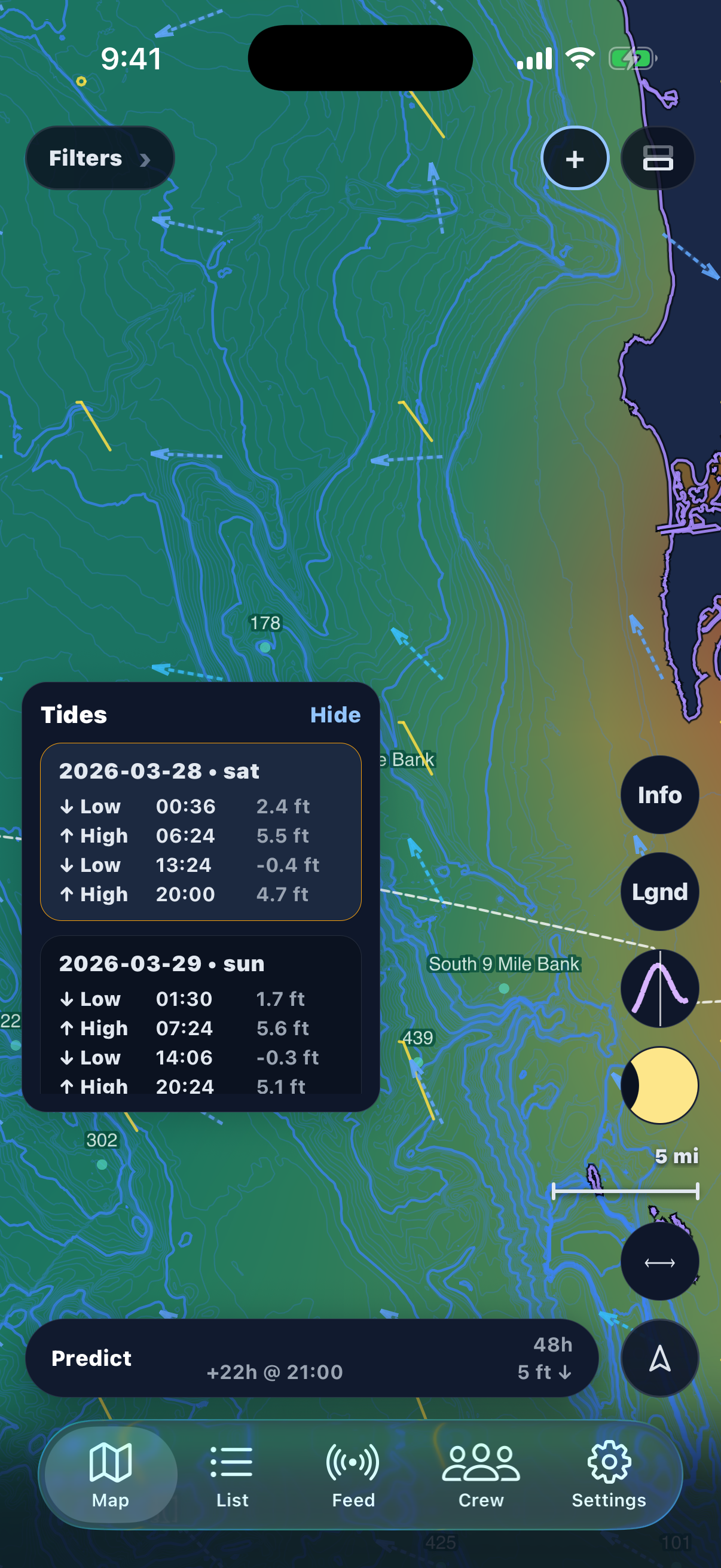
Everything you need to make better decisions on the water.

Drift Prediction

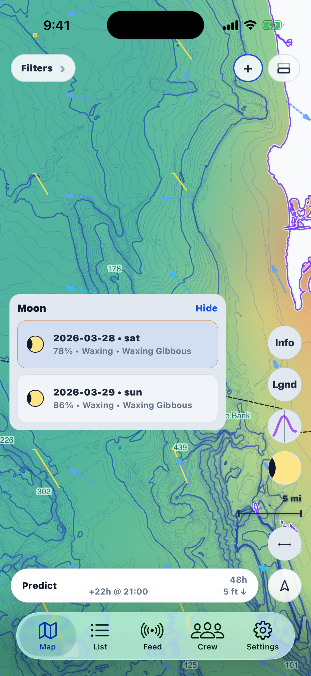
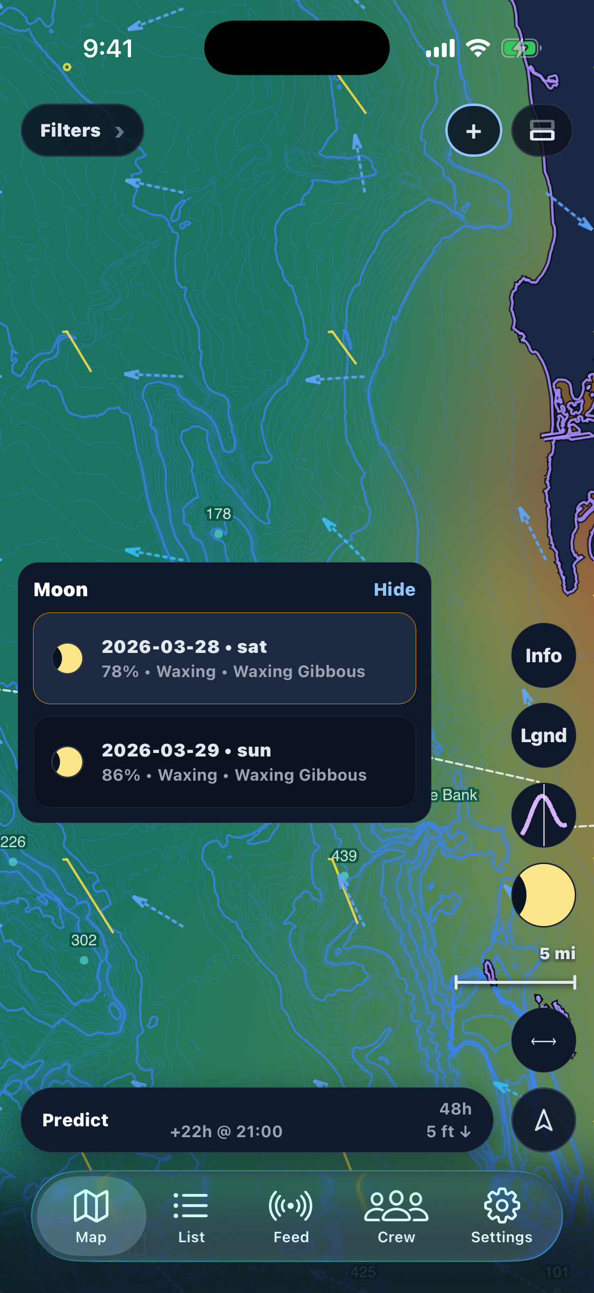
GPS-derived drift blended with HRRR/GFS wind and WCOFS ocean currents. Accurate predictions days out.

Ocean Data Layers

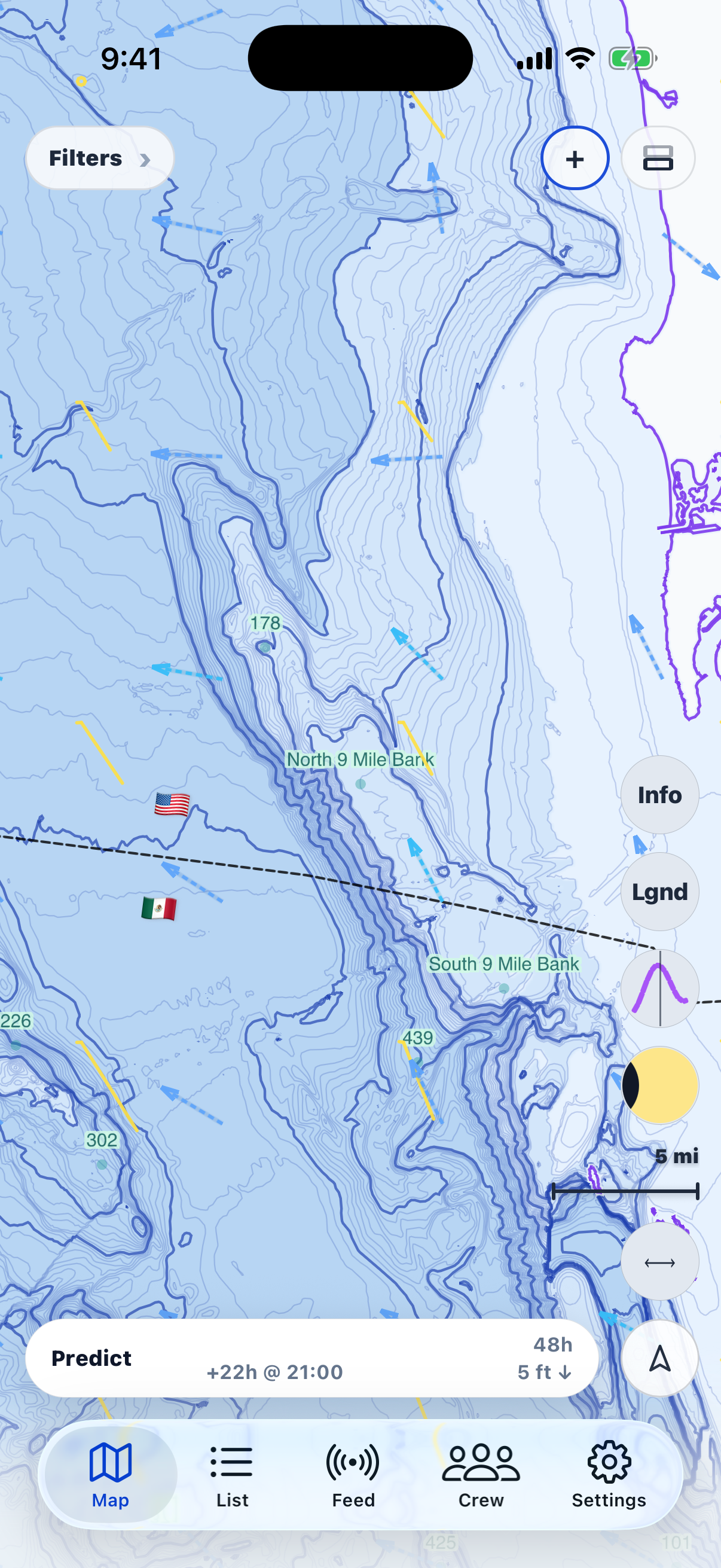
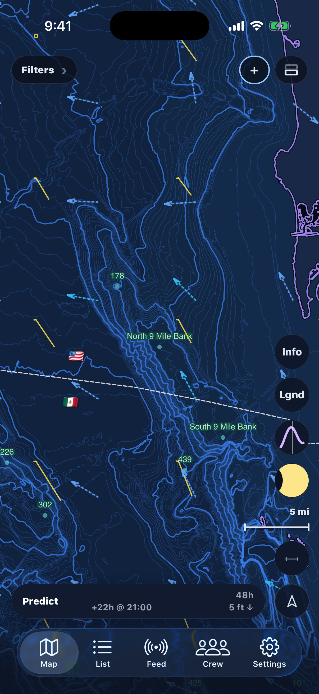
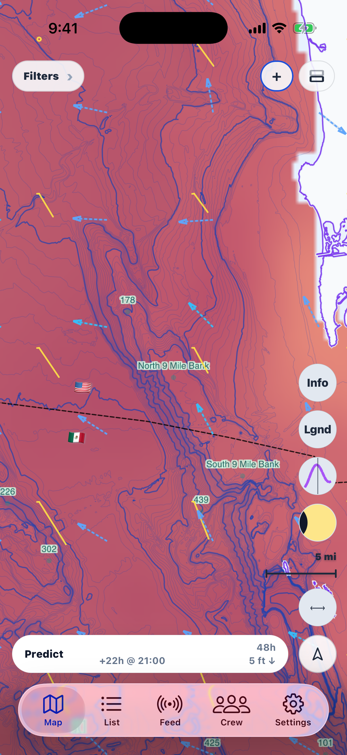
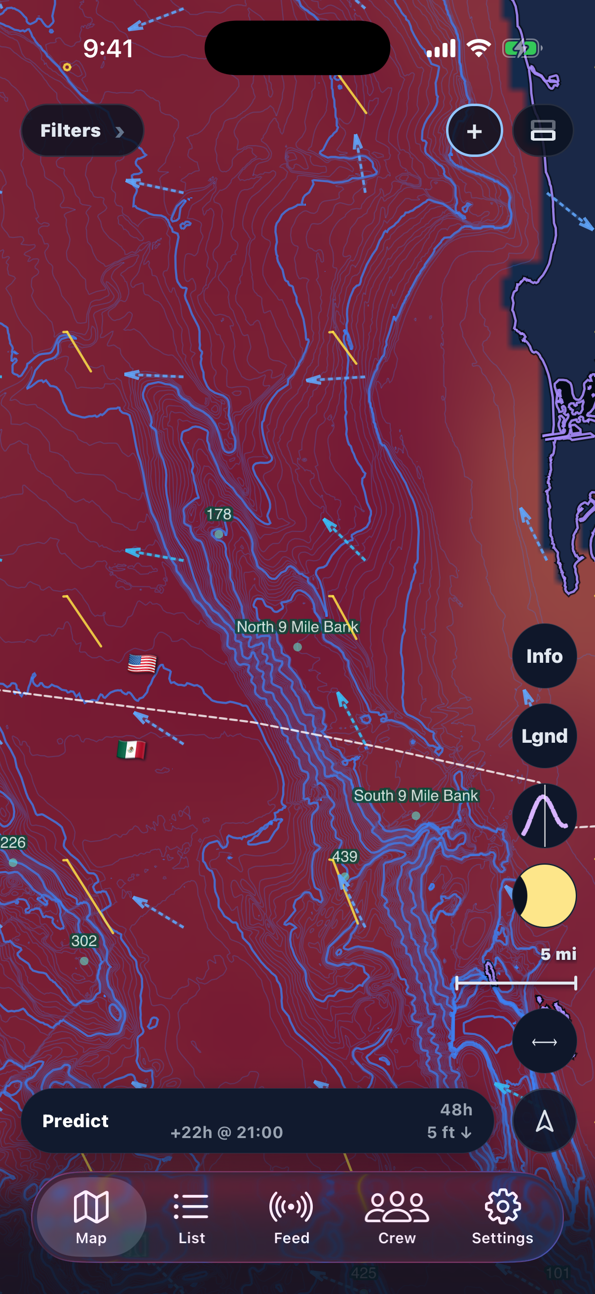
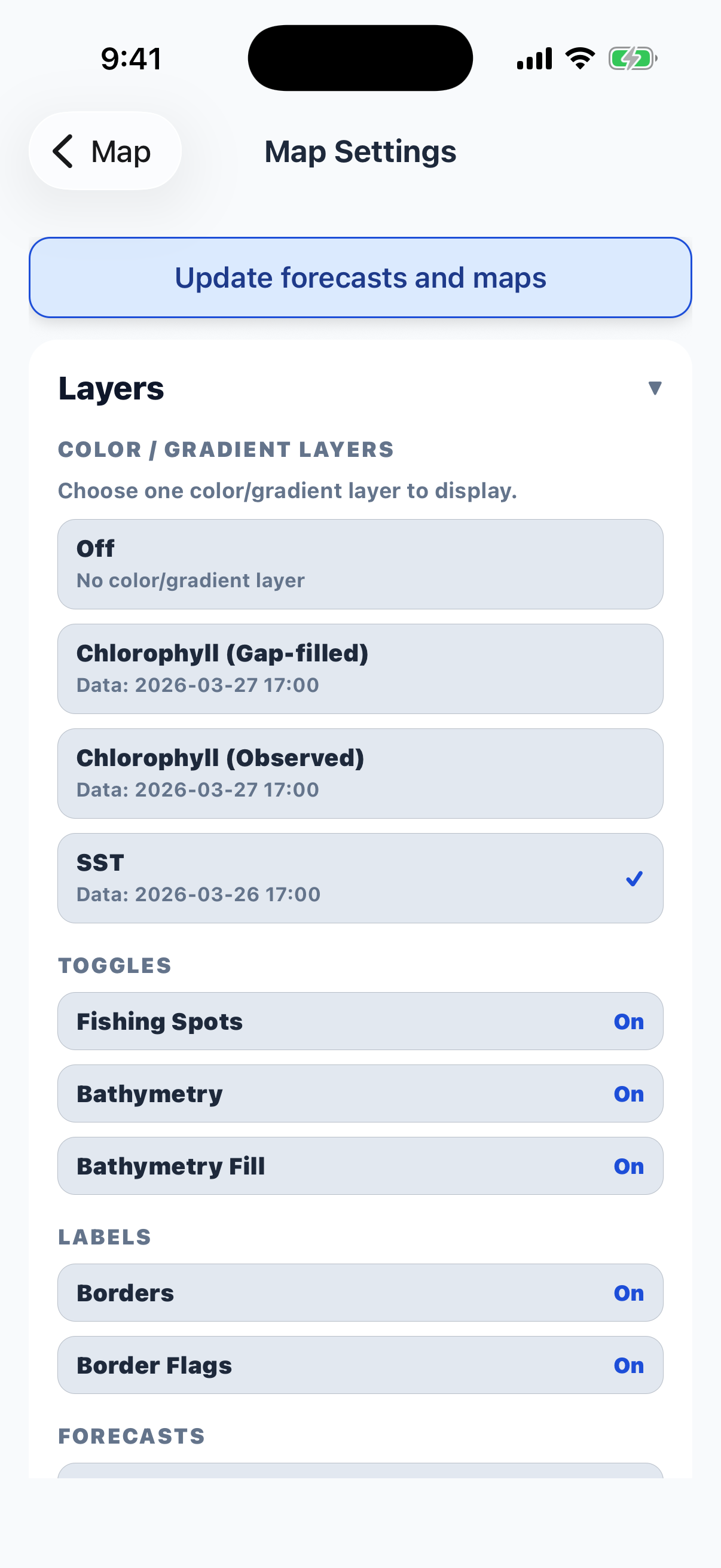
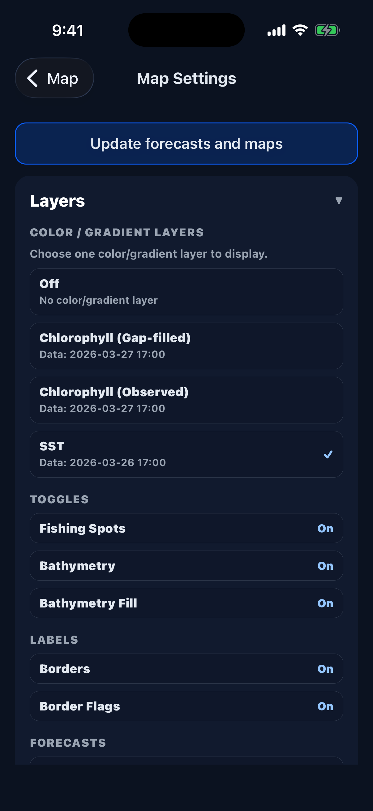
Sea surface temperature, chlorophyll, swell, bathymetry, wind and current vectors on one map.

Crews

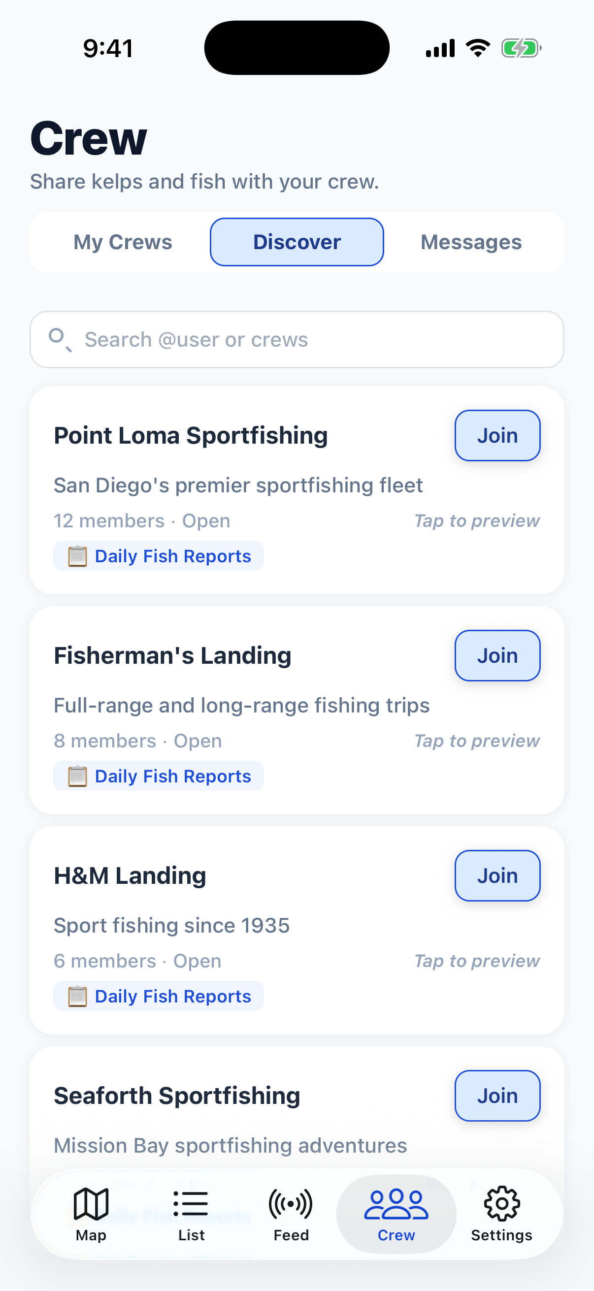
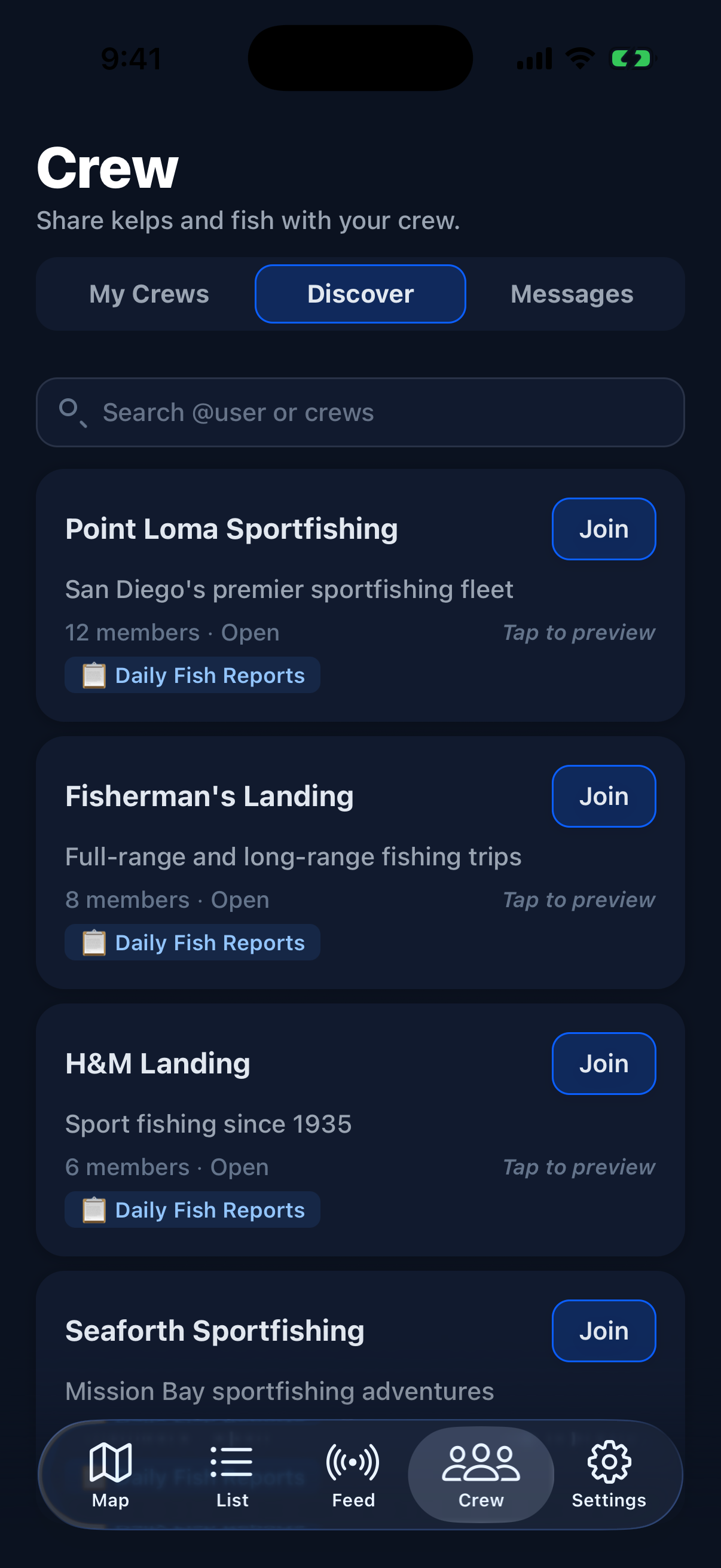
Private or public groups to share kelp & fish marks and reports with your boat crew or fishing buddies.

Fish Reports

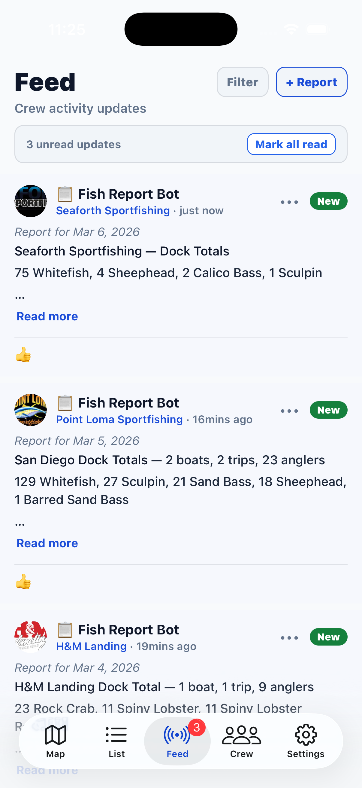
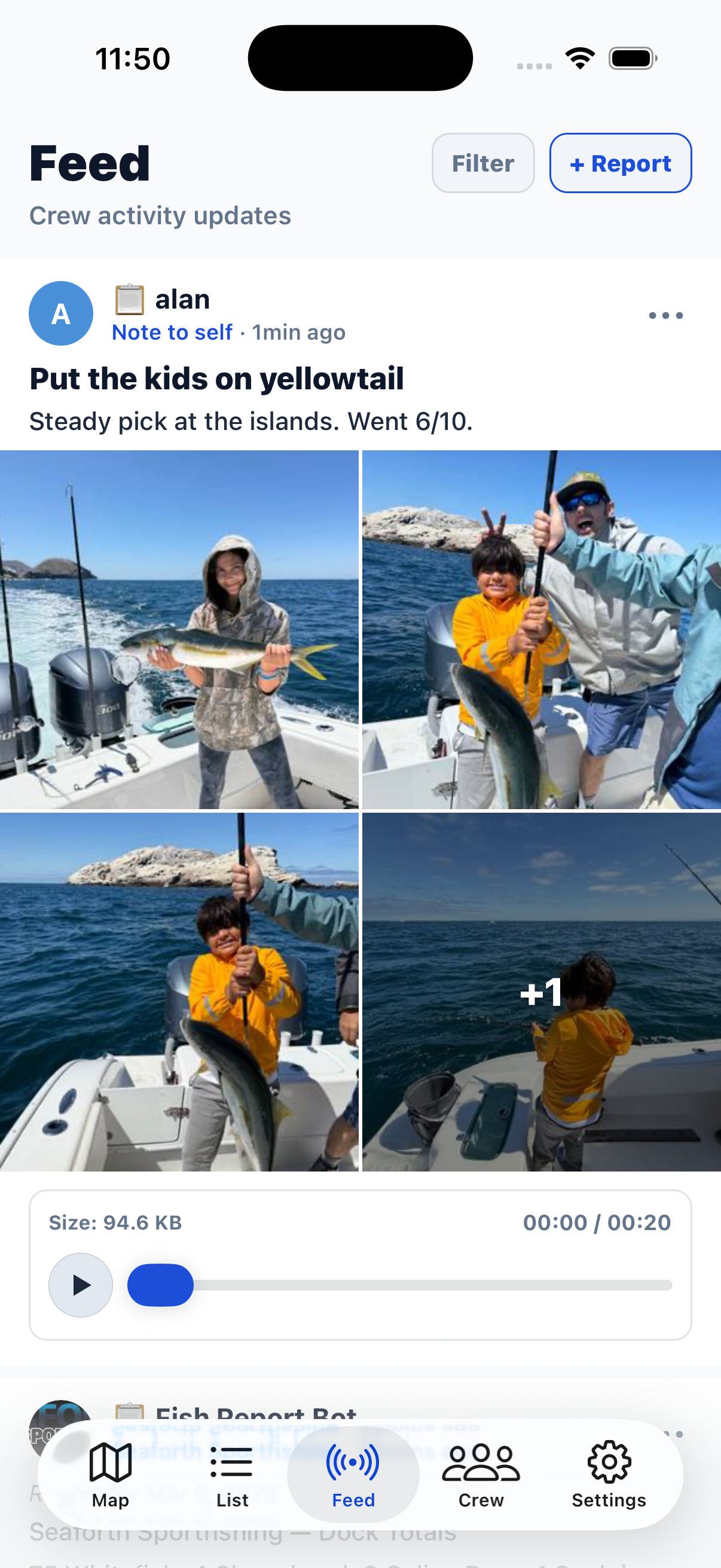
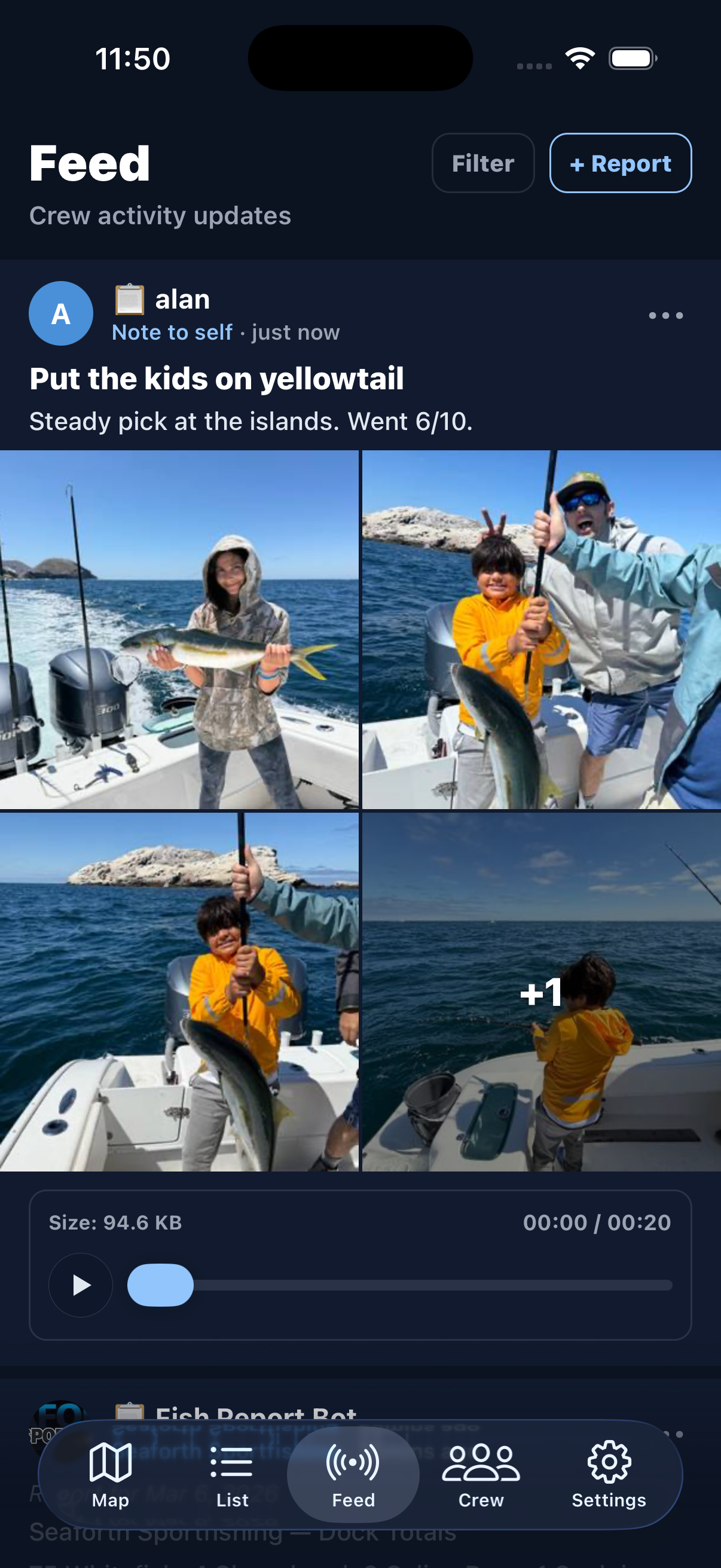
Rich reports with photos, voice memos, and markdown text. Share what you're seeing on the water with your crew.

Offline-First

Full maps, predictions, and ocean data work with no cell signal. Download everything before you leave the dock.

Fish & Kelp Marks

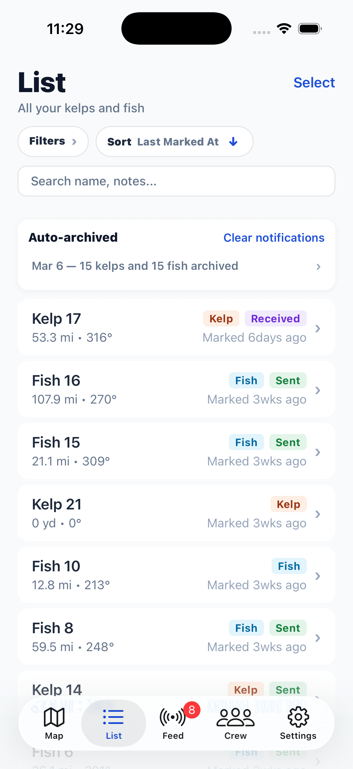
Track kelp paddies with drift prediction and fish spots as fixed reference points. Share selectively with your crews.

See It in Action

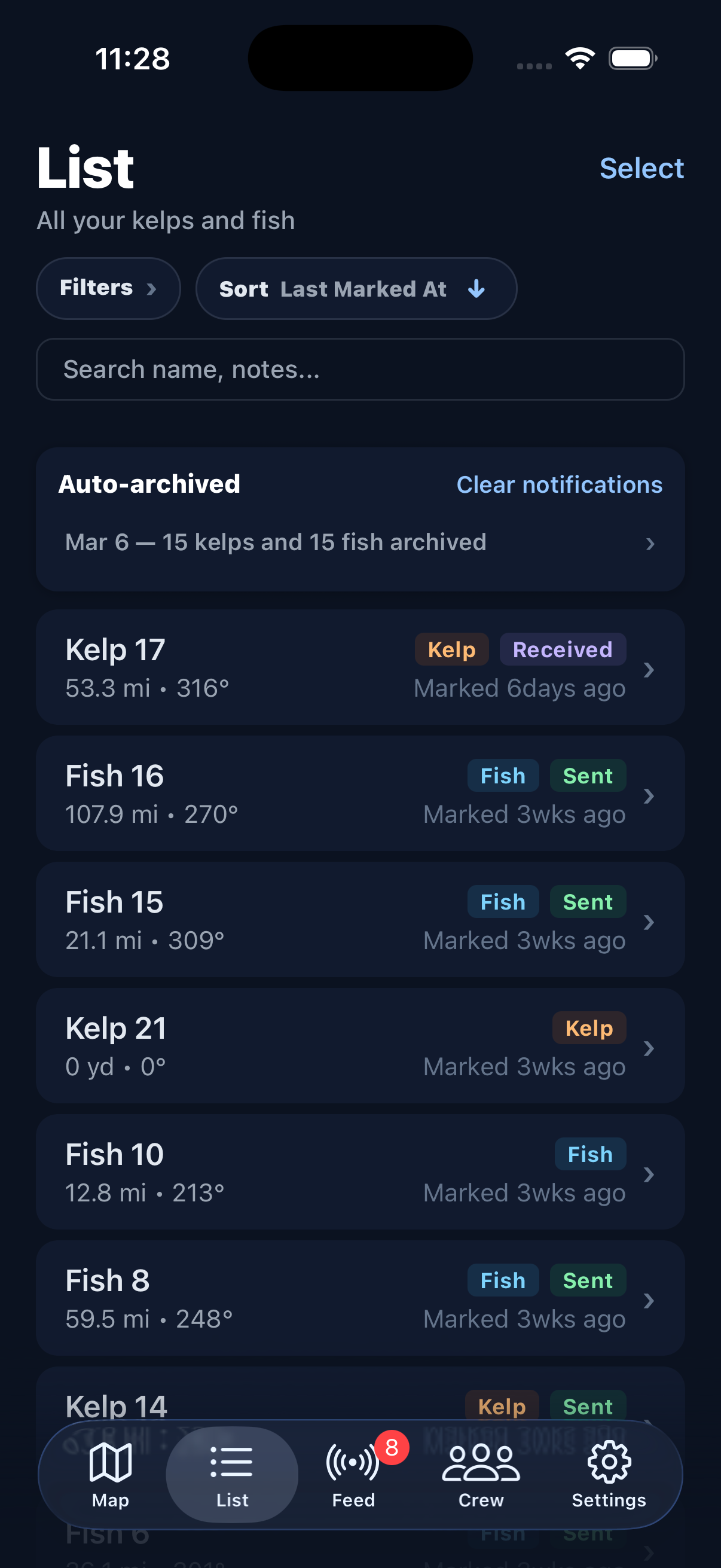
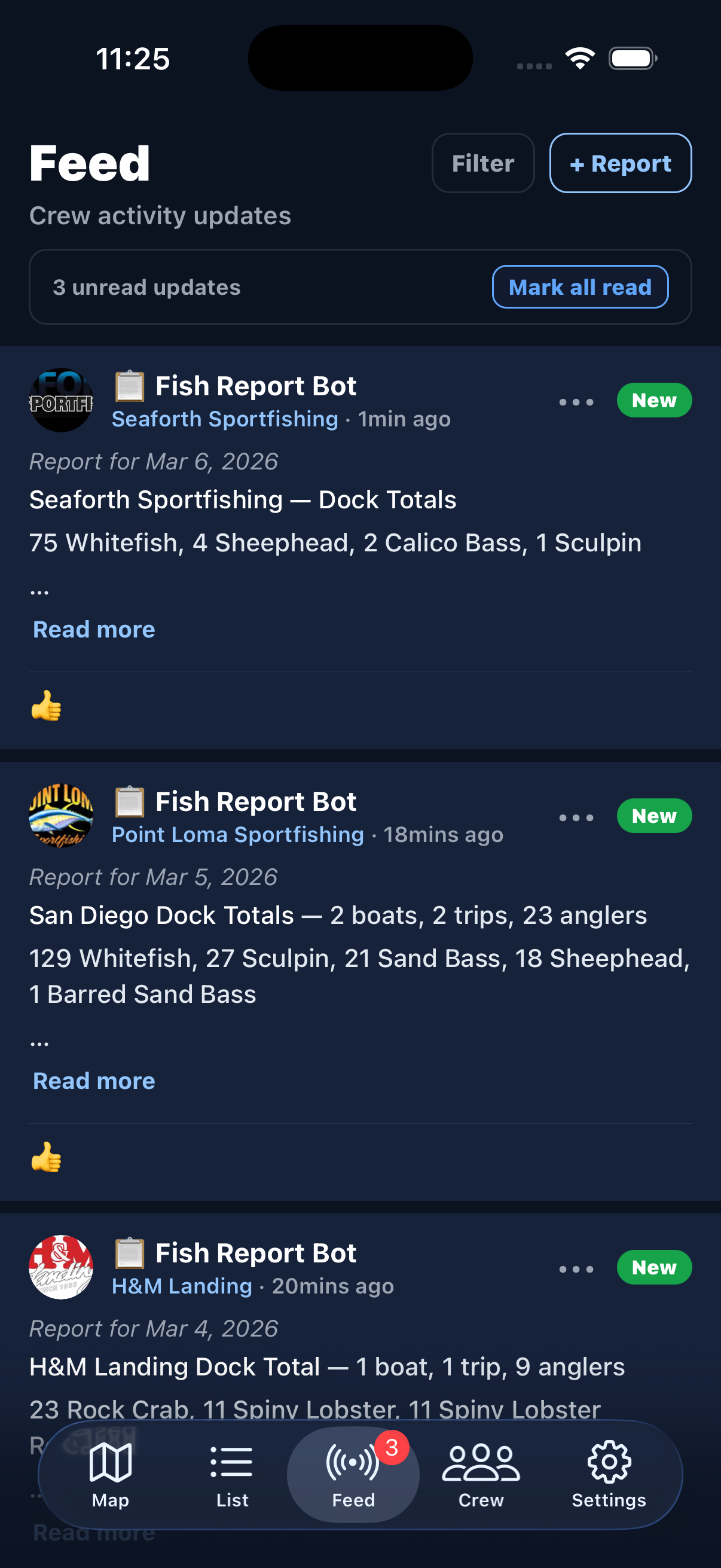
A look inside the app.

Ocean metrics showing chlorophyll, SST, depth, wind, current, and swell Ocean metrics showing chlorophyll, SST, depth, wind, current, and swell
Ocean Metrics
Tides calendar with tide chart Tides calendar with tide chart
Tides
Moon phases calendar Moon phases calendar
Moon Phases
Bathymetry depth map with wind and current vectors Bathymetry depth map with wind and current vectors
Bathymetry
Sea surface temperature map with wind and current vectors Sea surface temperature map with wind and current vectors
SST
Map settings with layer options Map settings with layer options
Map Settings
List of kelp and fish marks List of kelp and fish marks
Mark List
Crew feed with fish reports Crew feed with fish reports
Feed
Fish report with photos and voice memo Fish report with photos and voice memo
Fish Report
Discover open crews to join Discover open crews to join
Crew Discover

Coverage & Data Sources

Powered by real ocean science.

Southern California coverage area showing offshore banks and fishing spots Southern California coverage area showing offshore banks and fishing spots

Southern California

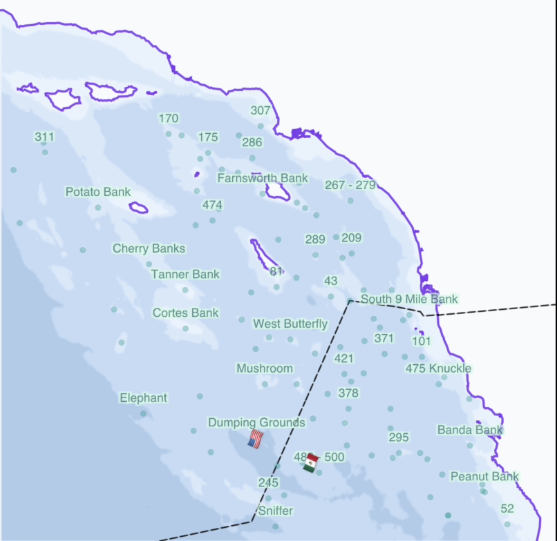
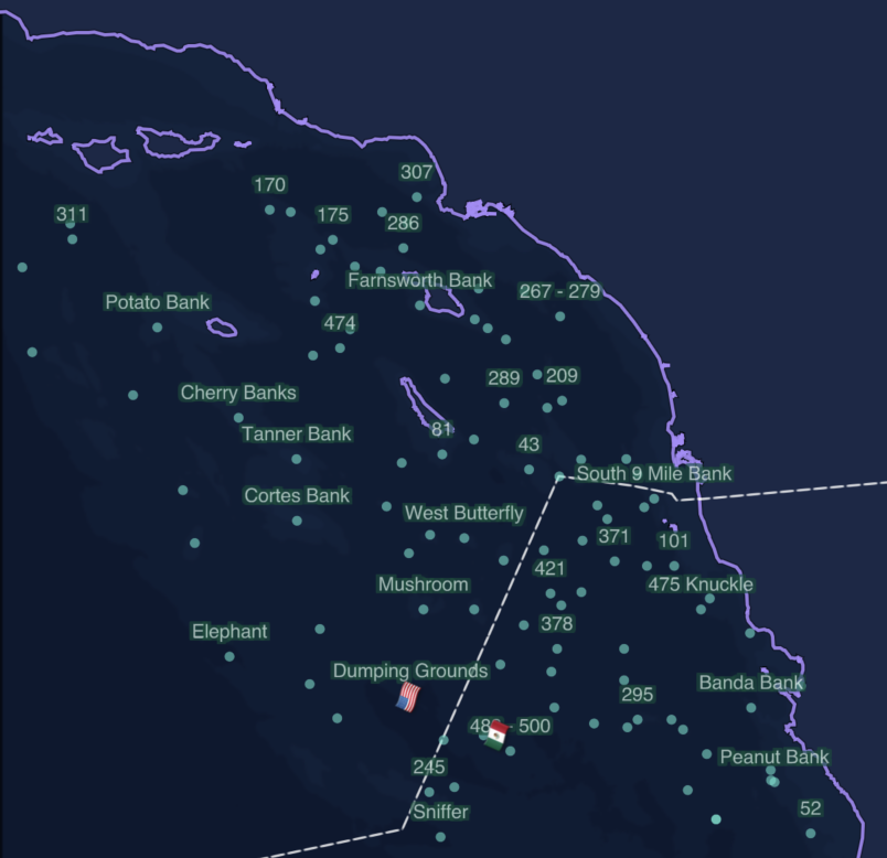
Full coverage from Point Conception to Ensenada, including all offshore banks, islands, and the major high spots. Our servers pull fresh data from NOAA every 6 hours and package it for the app.

  • HRRR Wind — 48h forecast, 1h steps, ~3km resolution
  • GFS Wind — 7-day forecast, 3h steps, ~13km resolution
  • WCOFS Currents — 72h forecast + 7-day history, ~4km, deduplicated across runs
  • GFS-Wave Swell — 7-day forecast, 1h for first 72h then 3h, dual swell components
  • EOT20 Tides — harmonic tidal model, global coverage, on-device prediction
  • Moon Phases — daily illumination, phase name, and rise/set times, computed on-device
  • MUR SST — daily gap-free sea surface temperature, ~1km resolution
  • Chlorophyll-a — daily satellite ocean color, ~750m resolution

Expanding to new regions. Stay tuned.

Get on the List

Be first to know when Kelpulator launches.

Download on the App Store - Coming Soon

iOS coming soon · Android shortly after